
Panama City Postal ZIP Coverage
Seven ZIPs carry a Panama City postal designation. Their names describe delivery, not municipal government. The coverage notes below stay cautious where USPS did not verify a definitive type or facility during research. Check a specific property in BayView before deciding which government has jurisdiction.
| ZIP | Area served | Post office evidence | Boundary note |
|---|---|---|---|
| 32401 | Downtown and east-central incorporated core | 1336 Sherman Avenue group | Verify each parcel |
| 32402 | Paired with 32401 | 1336 Sherman Avenue group | Likely PO-box or non-geographic; type unverified |
| 32403 | Strongly associated with Tyndall AFB | Panama City designation | Not proof of city jurisdiction |
| 32404 | Eastern county, Callaway, Parker, Springfield and Tyndall corridor | Panama City designation | Substantial area outside incorporated Panama City |
| 32405 | North Panama City and north-central county | 421 Jenks Avenue group | Crosses municipal logic |
| 32406 | Paired with 32405 | 421 Jenks Avenue group | Likely PO-box or non-geographic; type unverified |
| 32409 | North Bay County and Southport | 421 Jenks Avenue group | Major mailing-name and city-line mismatch |
Adjacent 32407, 32408, 32413, and 32417 are Panama City Beach ZIPs. They are not Panama City city ZIPs just because the wider area uses the Panama City name. That distinction matters when a search is routed to the city, county, or another municipality.
Verify a Panama City ZIP
The USPS ZIP Code Lookup is the authoritative first stop for an individual address or a city-and-state query. Use it before sorting other records because an informal neighborhood label may not match the delivery address.
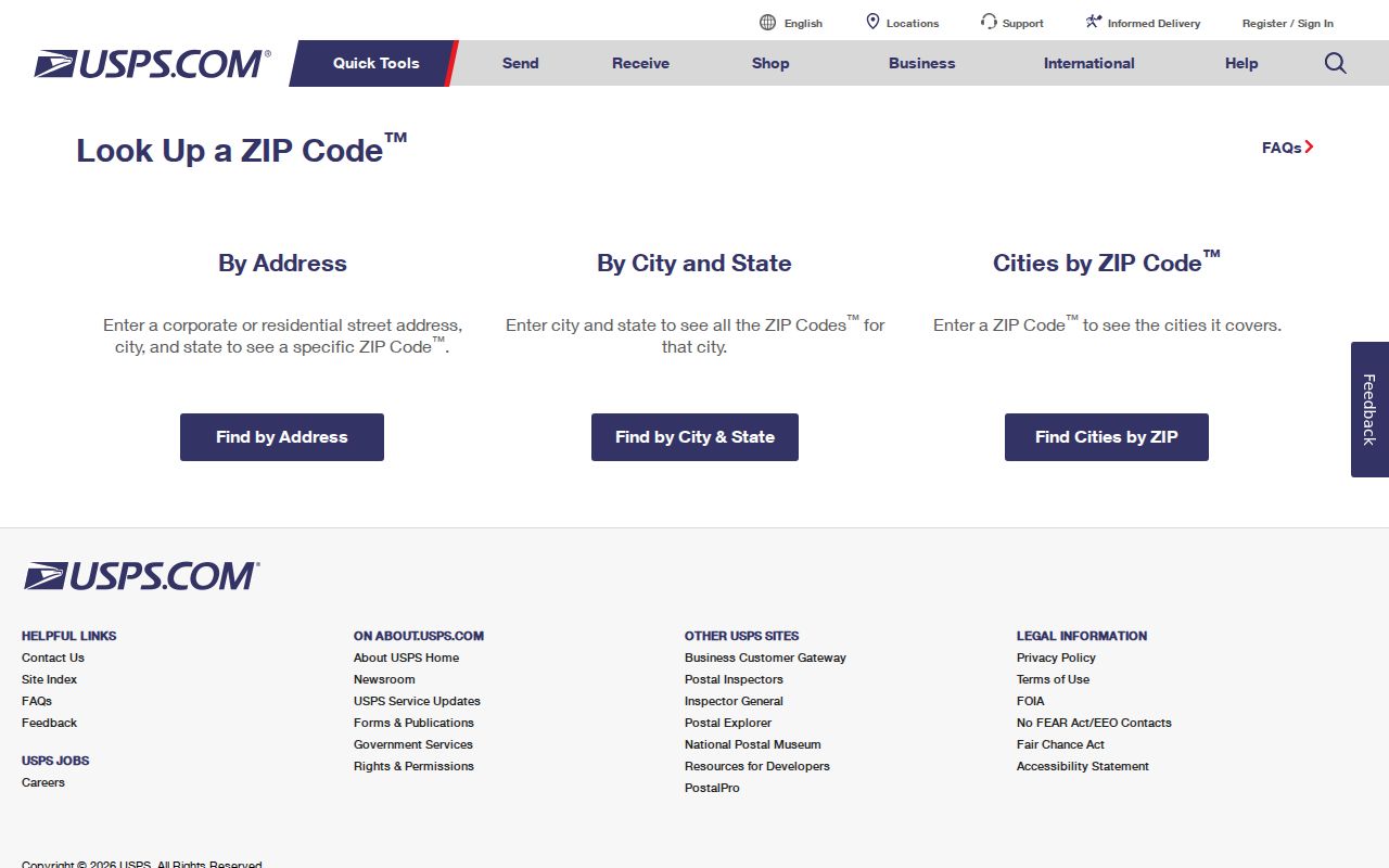
The captured USPS form confirms postal routing. It does not draw Panama City limits or decide which office holds a permit, tax, or code record.
| USPS mode | Enter | Use |
|---|---|---|
| By address | Street, city, state | Confirm the ZIP and standardized mailing form |
| By city and state | Place name and state | See ZIPs associated with a postal city |
| Cities by ZIP | Five-digit ZIP | Check recognized postal city names |
Do not assume a likely PO-box ZIP or unique ZIP without direct USPS confirmation. The research could not verify definitive current types for 32402, 32403, or 32406, so the Panama City ZIP code directory keeps those limits visible.
Panama City ZIP Delivery Groups
USPS changed delivery operations in March 2024 without changing customer retail or PO-box service. The Sherman Avenue facility began serving 32401 and 32402 on March 9. The Jenks Avenue facility began serving 32405, 32406, and 32409 on March 23. This was an operational reassignment, not a new ZIP boundary or city annexation.
The two groups are useful when checking which facility handled a route at that time. They do not establish where a person resided. Nor do they pull 32409 into Panama City government. That northern ZIP remains the clearest example of a Panama City mailing name covering places outside the city line.
Recent county work can also affect the public-facing address offices without changing ZIP geography. The Bay County courthouse renovation notice documents the South Wing opening in 2025.
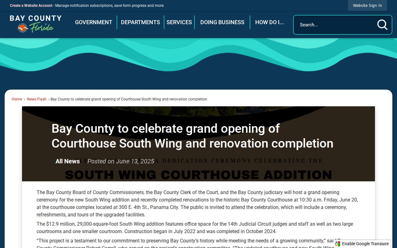
The notice is an office-history marker, not evidence of a postal split. Keep operational changes and boundary changes separate.
Find Panama City Residents by ZIP
Official data offers no single live “browse everyone” ZIP screen. USPS verifies one address. BayView searches a parcel, address, or road but has no documented dedicated ZIP filter. The Bay Property Appraiser’s live ZIP field was not verified. The dependable broader route is Florida Department of Revenue assessment-roll data, which can be sorted by ZIP after download.
- Verify the full mailing address with USPS, or begin with the five-digit ZIP if it is the only known fact.
- Use BayView to identify a parcel and check its municipal boundary, owner, address, and land context.
- Sort an official Department of Revenue NAL assessment roll by ZIP, keeping assessed ownership distinct from occupancy.
- For voter research, request the lawful state extract, then sort residence fields while respecting protected records.
- Narrow the set by street, parcel, or verified name. For full address work, use the Panama City street directory.
The state voter self-lookup is meant for one voter and requires identity details. It cannot browse a ZIP. The monthly full extract includes active and inactive records and arrives on physical disk or by pickup, not email or online delivery. Protected people and confidential fields remain excluded.
Sort Panama City ZIP Roll Data
The Florida Department of Revenue assessment and GIS data portal supplies current and historical tax-roll, sales, and map files. Current NAL files and earlier rolls from 2002 onward can support ZIP sorting, though prior data may require a detailed request.
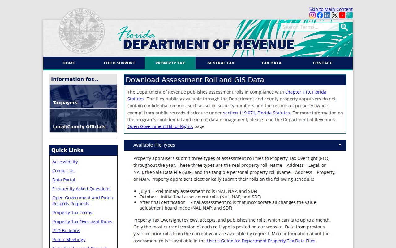
The download is a large public assessment file, not a ready-made household list. Preserve the data dictionary, distinguish mailing from situs addresses, and treat the parcel ID as an exact key.
- Situs address
- The physical location assigned to the parcel.
- Mailing address
- The place where the owner receives tax mail, which may be elsewhere.
- Parcel ID
- The assessor’s exact property key. Bay examples are hyphenated, but no official digit-decoding guide was found.
The Bay County Tax Collector provides another official tax-office route.
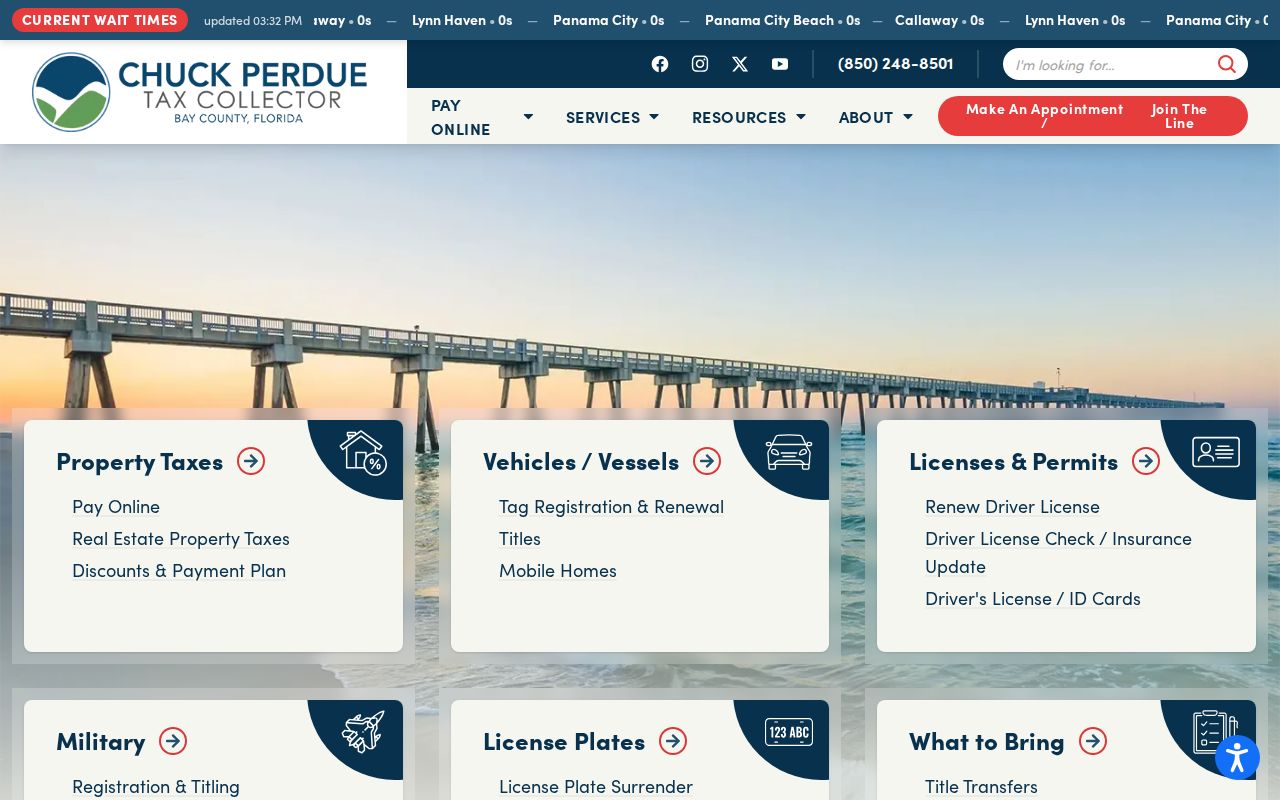
Tax payment and assessment records serve different office functions. Use the Property Appraiser or state roll to establish parcel data.
Panama City ZIPs and City Limits
A ZIP moves mail. A city boundary assigns municipal authority. Those systems often overlap, but they are not the same. Search the address in BayView and inspect the municipal-boundary layer before sending a permit or code request. Panama City’s public guidance identifies tax areas 16 and 31 as city indicators.
This distinction is especially important in 32404 and 32409. A Panama City postal name can point to eastern municipalities, the Tyndall corridor, Southport, or unincorporated Bay County. Bay County GIS assigns and verifies addresses from its office at 840 W 11th Street, telephone 850-248-8071. New-address work can require a deed, parcel ID, and land-use or zoning approval.
Boundary check. Confirm the postal ZIP with USPS, then confirm municipal jurisdiction through BayView before choosing a records custodian.
Panama City Postal Terms
Postal terms answer different questions. Use them precisely when reading a ZIP code directory, and do not assign a type that USPS has not verified for the address.
- ZIP
- A five-digit routing code used by USPS. It is not a city boundary.
- ZIP+4
- The five-digit ZIP plus four digits that narrow delivery to a smaller segment.
- PO-box ZIP
- A ZIP assigned chiefly to post-office boxes rather than ordinary street delivery.
- Unique ZIP
- A code assigned to a single high-volume organization or institution.
- Carrier route
- A set of delivery points served by one postal route.
Census ZIP Code Tabulation Areas are statistical approximations and are also not postal boundaries. No official city-limit-by-ZCTA overlay or reliable per-ZIP population table was found for Panama City during the research. Claims about exact population or neighborhood lines would therefore go beyond the source record.
Panama City ZIP Geography
Local history explains why one postal label does not describe one neat community. St. Andrews began as an early settlement and incorporated in 1908. Millville grew as a lumber and shipbuilding town and incorporated in 1913. Both were consolidated with Panama City in 1926. Northward growth after 1950 followed the 23rd Street corridor, while older development clustered near the waterfront towns and the 15th Street, 11th Street, and U.S. 98 links.
Present-day ZIP research should not flatten St. Andrews, Millville, Glenwood, downtown, Southport, or the eastern municipalities into one place. CRA districts add another layer, but a district boundary is not a ZIP and does not identify residents. The legal parcel, municipal layer, and postal record must be read together.
Note: Panama City Beach ZIPs are adjacent postal areas, not substitutes for the seven ZIPs carrying the Panama City designation.
Limits of a Panama City ZIP Search
A ZIP-wide owner list identifies assessed parties, not every person who lives in the area. A voter extract covers registered voters, not all adults or households. A business filing may use a registered-agent or office address. Protected addresses can be absent, and inactive records can reflect list maintenance rather than current location.
The best result comes from matching the ZIP to a parcel or verified address, then checking the official source suited to the question. If qPublic is blocked, call the Bay County Property Appraiser at 850-248-8401 with the parcel ID. If a city record is missing, Panama City accepts public-record requests by email, phone, or in person. For county GIS help, call 850-248-8071.
Use Panama City postal-directory results for lawful personal research. Do not infer private household facts from a postal route, and never use public data to stalk, harass, or harm someone.