
Records Around Panama City Neighbors
A block lookup combines parcel adjacency, assessed ownership, registered-voter evidence, recorded plats, and public community contacts. Each source is narrow. BayView shows which polygons touch or sit near a starting parcel. qPublic adds the current assessment card. Deeds and plats answer legal title and boundary questions, while the Florida voter extract can be sorted by residence address under its own access and confidentiality rules.
| Source | What It Shows About a Block | Access |
|---|---|---|
| BayView parcel clicks | Adjacent assessed owner, parcel ID, address, acres and use | Free, informational map |
| BayView Extract Data | Selected-area parcel polygons and attributes | Shapefile or service query, 2,000-feature cap |
| qPublic assessment | Mailing versus situs address, legal description, exemptions and sales | Current tax roll |
| Florida voter extract | Nonprotected registered voters sorted by residence address | Formal request and physical disk |
| Deeds and plats | Legal owners and lot or block boundaries over time | Clerk index, images, or certified copy |
| CRA and civic contacts | District plans, leaders, events, and public contact channels | No government member directory found |
An assessed owner is not automatically an occupant. The owner's mailing address may be somewhere else, and a homestead exemption only supports owner occupancy during the qualifying period. It does not name all residents. Start with the block's physical parcels, then label every person by the role actually shown.
Map Panama City Neighbor Parcels
The BayView viewer accepts parcels, addresses, or roads. Search the starting address, select its Parcels result, and zoom until individual polygons are clear. Results may show Parcel ID, Owner, Address, Acres, and Current Use. The DETAILS command opens the Property Appraiser card for closer inspection.
- Find the known address and record its parcel ID.
- Click each surrounding polygon one at a time and note parcel ID, assessed owner, situs, acreage, and use.
- Open DETAILS and separate the owner mailing address from the property's situs address.
- Use the municipal-boundary layer to determine whether city or county services apply.
- Check a recorded plat or survey when a right-of-way, easement, or condominium makes adjacency unclear.
The viewer's ANALYZE SURROUNDING AREA tool counts amenities such as parks, libraries, schools, recycling, and beach access at fixed radii. It is not a list of Panama City neighbors. For an entire named road and its record chain, move to the Panama City street directory.
Export Panama City Neighbor Records
BayView's Extract Data tool can select an area and export parcel features as a Shapefile. The parcel FeatureServer also supports JSON, geoJSON, and PBF queries, with a maximum of 2,000 features per request. Draw a tight block boundary and keep the export date. A broad radius can cross roads, waterways, or municipal lines and answer a different question.
Measure, Draw, and Print help make a working exhibit. The polygons remain informational. A recorded plat, deed description, or licensed survey controls a legal boundary question. This matters around easements, common areas, rights-of-way, and stacked condominium interests where a simple map edge can mislead.
Note: Preserve each parcel ID because it joins the block export to assessment, tax, and deed records more reliably than a street label.
Panama City Neighbor Voter Records
Florida's self-service voter-status tool checks one voter. It is not a street browser. A broader block analysis requires the Division of Elections full voter extract, then a lawful sort by residence address. The extract includes active and inactive records from the prior-month snapshot and is delivered by scheduled physical disk or pickup, not email or online download.
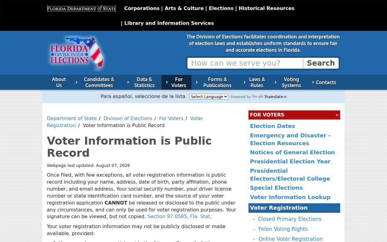
The state's public voter information page says public fields generally include name, address, date of birth, party affiliation, phone, and email. Participation history can show credited participation, never a ballot choice. The registration source, Social Security number, driver or Florida ID numbers, and other listed fields remain confidential.
All preregistration information for people ages 16 and 17 is confidential. Address Confidentiality Program participants and qualifying protected people may also have data shielded. An absent row does not prove that no one lives at an address.
The voter-public page was captured successfully for this Panama City neighbors page. Its official wording should control any interpretation of released fields.
The extract request instructions were also captured from the state source.
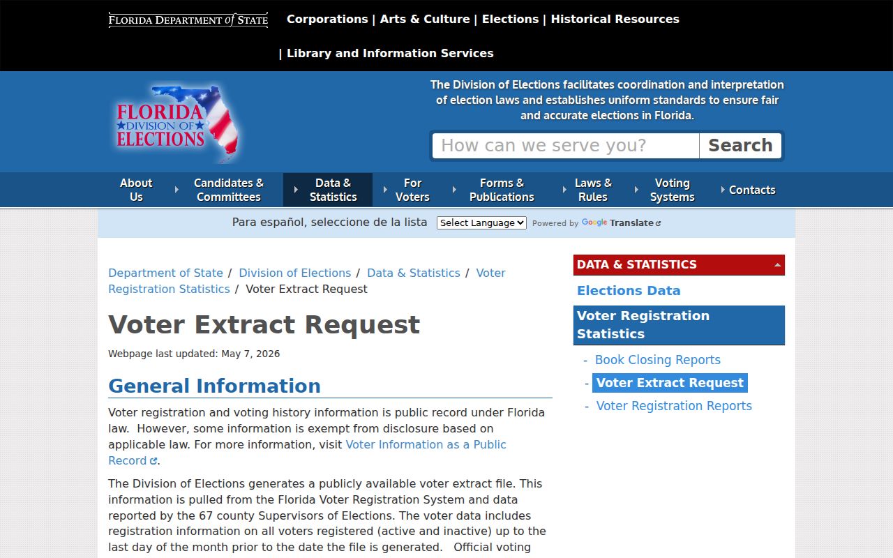
Keep the state's file layout beside the extract so every column is read correctly. Standing requests expire at the end of the calendar year, and late custom requests may carry administrative charges.
Panama City Neighbor Record Roles
Three labels often collapse into one, but they describe different facts. The tax roll's Owner field names the assessed owner. The Situs field locates the assessed property. The mailing address tells the county where to send notices. A person listed in a voter extract is a registered voter at the recorded residence, subject to timing and confidentiality limits.
| Source label | Safe conclusion | Do not infer |
|---|---|---|
| Assessed owner | Name carried on the current assessment roll | Every person living there |
| Owner mailing | Tax-notice destination | Physical parcel location |
| Homestead exemption | Evidence consistent with qualifying owner occupancy | Current presence or sole occupancy |
| Registered residence | Address in a dated voter record | A complete household or live occupancy |
Deeds can settle recorded title, but deed parties still do not form an occupant list. Keep role, source date, and record citation with each name. That discipline prevents a stale or mismatched result from becoming a claim about current Panama City neighbors.
Confirm Panama City Neighbor Jurisdiction
A Panama City mailing line does not settle municipal jurisdiction. BayView's Municipal Boundary layer shows whether a parcel is inside incorporated Panama City, another municipality, or unincorporated Bay County. The Property Appraiser's tax areas 16 and 31 are a useful city shortcut, but a boundary case should still be checked on the mapped layer. This decides which office may hold a permit, code, or local public record.
Eastern addresses with a Panama City postal designation can sit in Callaway, Parker, Springfield, or unincorporated Bay County. Northern addresses can also carry the Panama City name while falling beyond city limits. ZIP codes route mail. They do not draw government lines. Record the parcel ID, municipal value, and map date before contacting an office.
If a city permit or code search produces no result, do not assume the block has no file. Call Panama City Building Services at 850-872-3025 for city parcels, or identify the proper Bay County channel for unincorporated land. A focused request should name the address, parcel ID, record type, department, and approximate date. Panama City accepts public-record requests by email, telephone, or in person.
Compare Panama City Neighbor Sources
Official rolls and commercial compilations serve different purposes. A county parcel record is dated and tied to a known custodian, but it describes assessed ownership rather than a full household. A commercial result may collect more names, yet it can merge people, lag a move, or hide its source date. Start with the official record that answers the narrow question, then confirm any secondary lead against that custodian.
| Source type | Strength | Main limit |
|---|---|---|
| BayView and qPublic | Parcel-specific, current county context | Owner is not the whole household |
| Clerk deed or plat | Recorded parties and legal land description | Does not identify all occupants |
| Florida voter extract | Official registered-residence rows | Protected records absent and delivery is scheduled |
| Commercial compilation | May suggest another spelling or older address | Source, date, and identity matching may be unclear |
A missing web result is not proof that no public record exists. Contact the custodian, ask whether a counter terminal or written request reaches more years, and obtain a certified copy when the legal status of a document matters. This fallback is slower, but it keeps Panama City neighbors tied to evidence instead of inference.
Keep a short source log for each parcel: the exact address entered, parcel ID, retrieval date, owner role, mailing and situs fields, and any deed or plat citation. Recheck an assessment before relying on it because rolls change. When two sources conflict, the conflict is a reason to ask the office for clarification, not permission to blend the records into a more certain claim than either source supports.
Panama City Neighbor Community Contacts
Panama City identifies St. Andrews, Millville, Downtown North, and Downtown Community Redevelopment Areas. A CRA is a public planning district, not a neighborhood membership organization. Its maps can supply geographic and project context, but CRA inclusion does not prove association membership or reveal private households.
City CRA Districts
Use official district plans, maps, meeting notices, and public staff contacts. Treat boundaries as civic geography, not a resident roster.
Parker Circle Association
The group reports that it began in 2006, later expanded beyond its first city-limit neighbors, is not an HOA, and relies on voluntary support. Use only public leadership, contact, and event details.
Library Local History
Bay County Public Library's vertical files cover neighborhoods, churches, clubs, schools, and organizations. Staff can help locate public historic material, not private member lists.
No authoritative citywide HOA directory, congregation roster, or block-watch member roster was verified. Do not fill that gap with assumptions. Public organizations can help explain how a block identifies itself, but they should not be used to expose members.
How Panama City Neighbor Blocks Changed
Today's city grew from separate communities. St. Andrews incorporated in 1908, Millville in 1913, and the three municipalities consolidated with Panama City in 1926. Glenwood developed as a center of African-American culture and commerce along what is now MLK Jr. Boulevard. Those place names matter when historic records use older headings.
Bay County's official history gives the county's 1913 creation and the story of the early courthouse. The source was captured for this neighbors page because jurisdiction and neighborhood identity shape where public records sit.
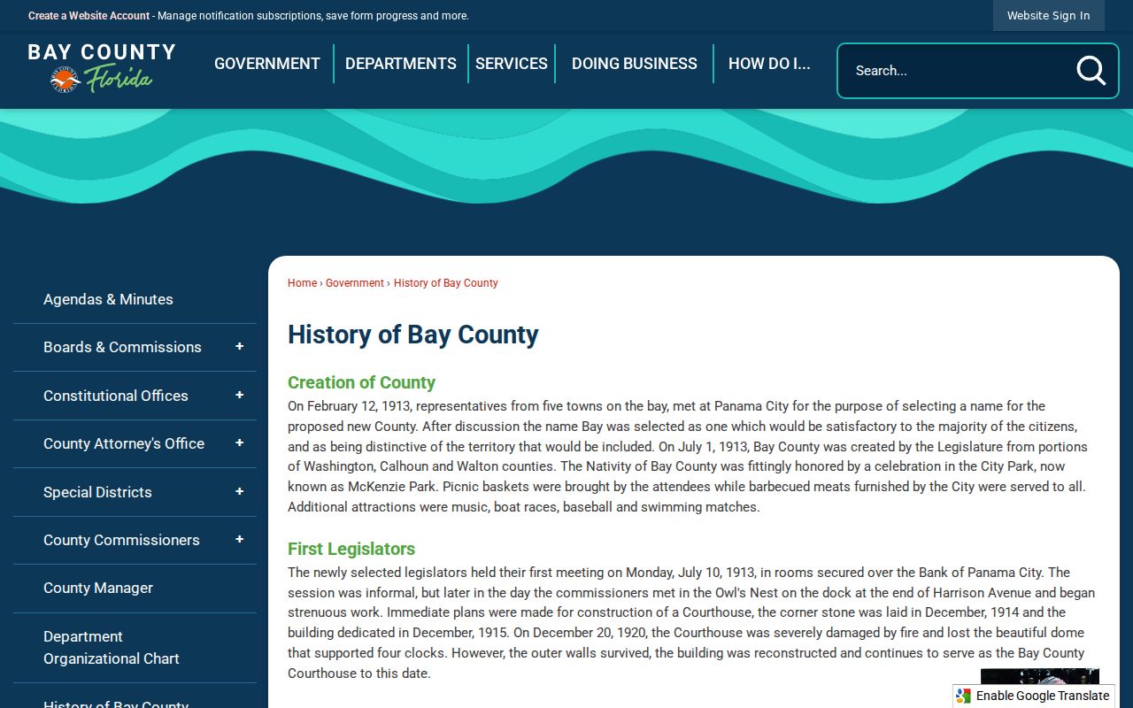
Use older city directories, Sanborn sheets, newspapers, and plats to study past neighbors. Modern parcel ownership should stay separate from historical occupancy.
Panama City Neighbor Safety Records
The Bay County Sheriff's public-records page routes requests through GovTransfer, which requires a free account. Custodian Beth Nelson can also be reached at beth.nelson@bayso.org or 850-747-4700. Ask for a specific incident, date range, address, or record type. Reports remain subject to exemptions.
The successful agency capture below shows the official request channel. It is not a live neighbor roster or proof that a person at an address was involved in an event.
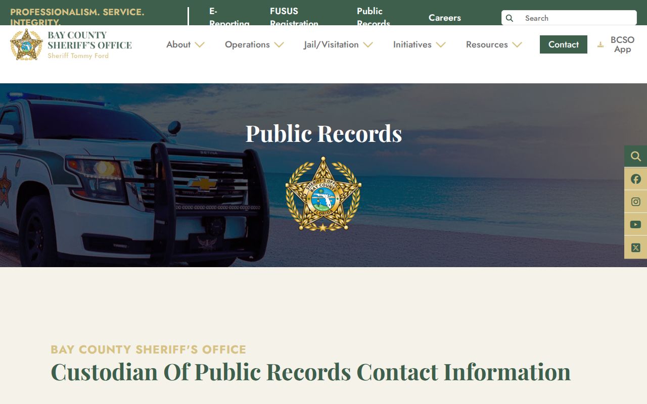
Traffic-crash reports are free under the published schedule. Larger requests can require an estimate and prepayment. Use the custodian's response as the record, and do not treat the mere absence of a web result as proof that no responsive file exists.
Privacy for Panama City Neighbors
Public parcel and voter records do not create a full list of people at home. Renters and household members are not inferred from the assessed owner. Driver data is restricted, utility-customer data was not verified as public, and protected property or voter addresses may be withheld. Florida's Address Confidentiality Program can provide eligible relocated victims with a substitute mailing address and mail forwarding.
Lawful use. Research Panama City neighbors for civic curiosity, reconnection, property context, and personal safety. Never use public data to watch, harass, threaten, or intimidate anyone.
Commercial neighbor tools may merge public and private data, repeat stale addresses, or attach a record to the wrong person. An official roll is narrower but identifies its custodian, date, and field meaning. Neither source should be treated as a live household census.